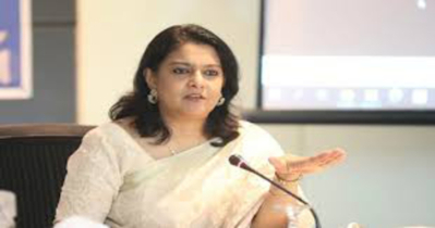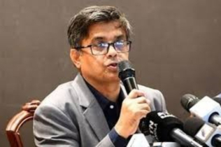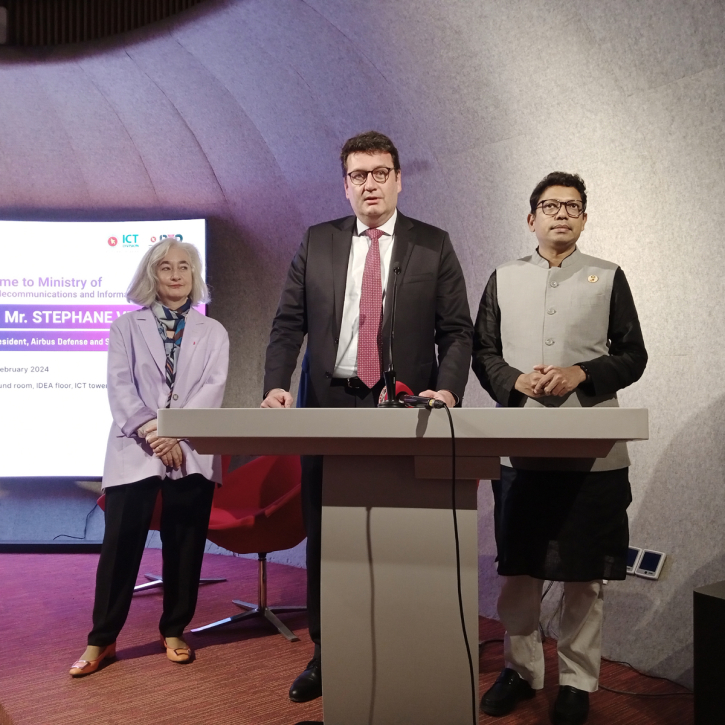
Stephane Vesval speaking in the press meet in ICT tower on Sunday Photo: BE
Airbus senior vice-president Stephane Vesval said that the construction work of Bangabandhu satellite-2 will start soon in Bangladesh.
He expects the second satellite, intended for earth observation, to be launched in mid-2025.
The senior president told to reporters after the follow up meeting held at ICT tower in Agargaon area of the city on Sunday.
State Minister for Posts, Telecommunications and Information Technology Zunaid Ahmed Palak presided over the function.
Among others, French ambassador Marie Masdupuy and Bangladesh Satellite Company Ltd (BSCL) Chairman and Chief Executive Officer Dr. Shahjahan Mahmood were present in the meeting.
Zunaid Ahmed Palak said the government emphasis on the economic diplomacy. Bangladesh would stick to Father of the Nation Bangabandhu Sheikh Mujibur Rahman’s foreign policy doctrine - friendship to all, malice towards none. Bangladesh's initial satellite was designed primarily for communication purposes.
He said, the Bangabandhu-2 will form a constellation of satellites, enhancing Bangladesh's position as a spacefaring nation.
"What's crucial is that having your satellite grants you autonomy and sovereignty. You'll have the ability to operate the satellite independently and confidentially," he said.
"Only a few nations worldwide possess such autonomy, and Bangladesh will hopefully be one of them," he added.
"You will be able to acquire images from anywhere once you have the satellite," he continued.
Satellites serve diverse purposes, including weather forecasting, television signal transmission, amateur radio, internet communications, and the Global Positioning System. They are also employed in observations of the solar system, research and data collection.
Key areas requiring satellite imagery include land-based services, mapping, environmental monitoring and agriculture. Previously, Bangladesh used to purchase these images from external sources.
For agriculture, satellite-derived geospatial statistics offer timely and accurate support for defining and assessing agricultural policies at the district level. This includes estimating crop acreage, production, fertilizer requirements, and irrigation needs.
Ambassador Marie Masdupuy noted that using satellites allows cities to plan, anticipate, and manage their growth and development.
"Earth observation is a game changer. It provides objective data on a global scale with local precision at an unprecedented pace. It feeds automated analyses that drive decision-making and actions on the ground."
Caption:

.png)
